
EMSI Engineering Inc.
TESTING AND INSPECTION
GEOTECHNICAL & ENVIRONMENTAL ENGINEERING
SURVEYING
CIVIL ENGINEERING
ARCHITECTURAL
PROJECT MANAGEMENT
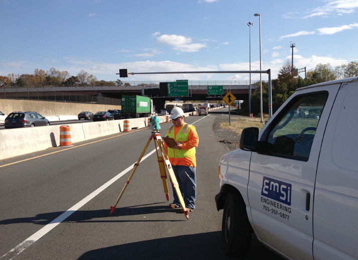

SURVEYING
- GPS Surveying
- Boundary and topographical surveys
- Construction stake-out
- Street right-of-way
- Platting and preparation of plan
- Profile surveying of existing conditions for the design of paving, water lines, sewer collection and storm water systems
- Boundary and topographical surveys
The automation of our surveying systems helps us to achieve our work product more efficiently with an emphasis on quality control.
All data is transferred electronically to the main computers in the office, avoiding any errors from importing data manually. The data is checked and processed electronically. All traverses are checked for closure. The data is then transferred electronically to AutoCAD or Micro Station to the design team.